Burn Line
Part of the album: Stunningly Devastating
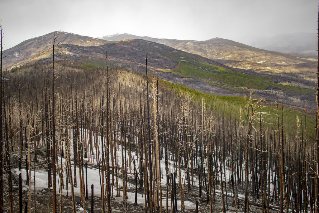
From the highest point looking North, you could make out exactly how far the fire had gotten. This view is where the album for this hike got its name. This view was completely surreal and shows how intense some of these forest fires can be, but at least there is a decent amount of green on the mountainside.
From the highest point looking North, you could make out exactly how far the fire had gotten. This view is where the album for this hike got its name. This view was completely surreal and shows how intense some of these forest fires can be, but at least there is a decent amount of green on the mountainside.
Related Photos


Photo Location
The map failed to load!
 5.16 mi
 2.1 hrs
 10,008 ft
 1,437 ft
View Graph