Burn Area
Part of the album: Wildflowers at Young Gulch
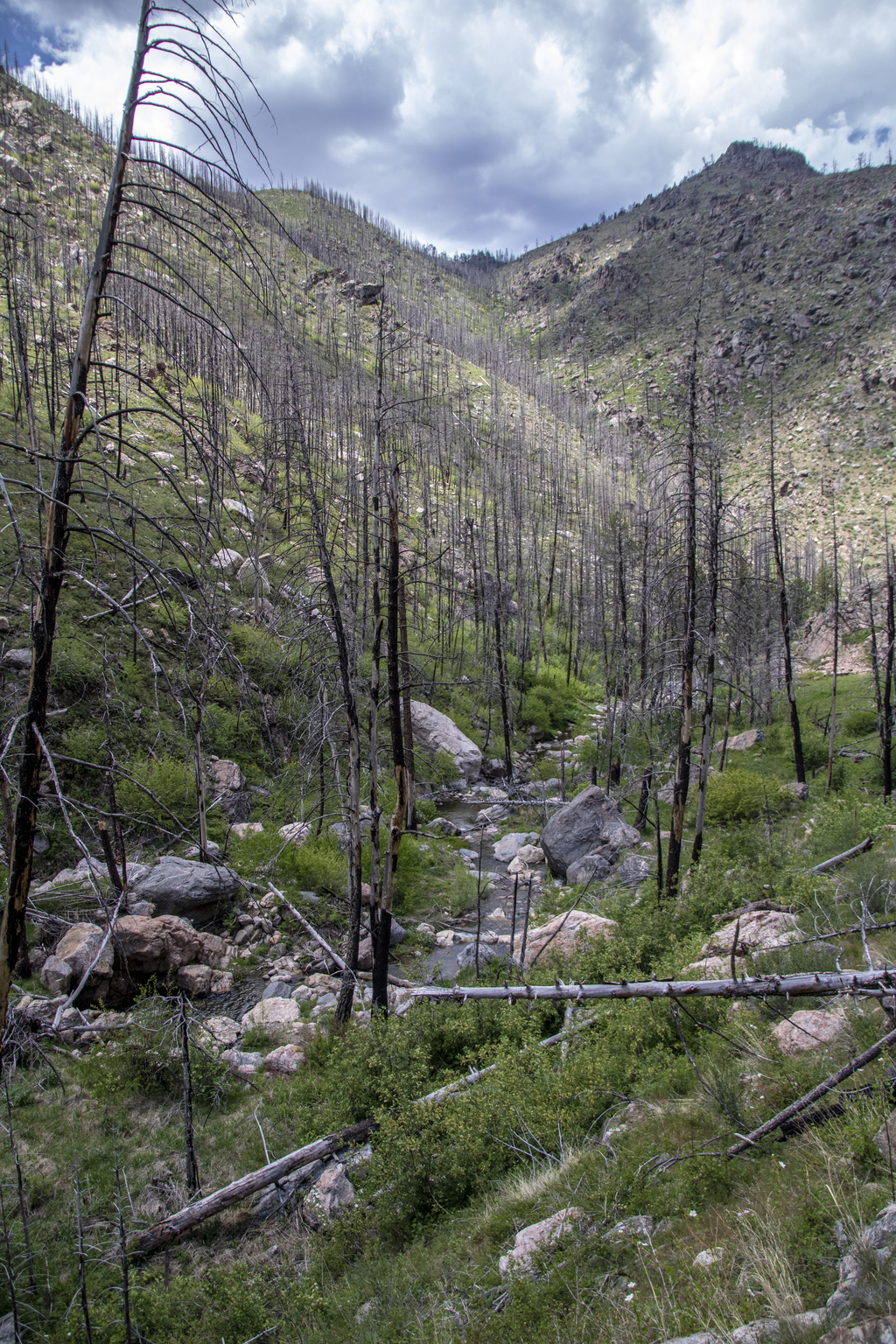
This area, like many of the areas that we've been hiking lately, was part of the burn area in 2012 from the Hewlett's Gulch and High Park fire. It's starting to recover in places, but it's got a long way to go until it's healed.
This area, like many of the areas that we've been hiking lately, was part of the burn area in 2012 from the Hewlett's Gulch and High Park fire. It's starting to recover in places, but it's got a long way to go until it's healed.
Related Photos


Photo Location
The map failed to load!
 6.03 mi
 2.3 hrs
 6,594 ft
 843 ft
View Graph