Summit Direction
Part of the album: Crosier Mountain Via Devils Gulch Road
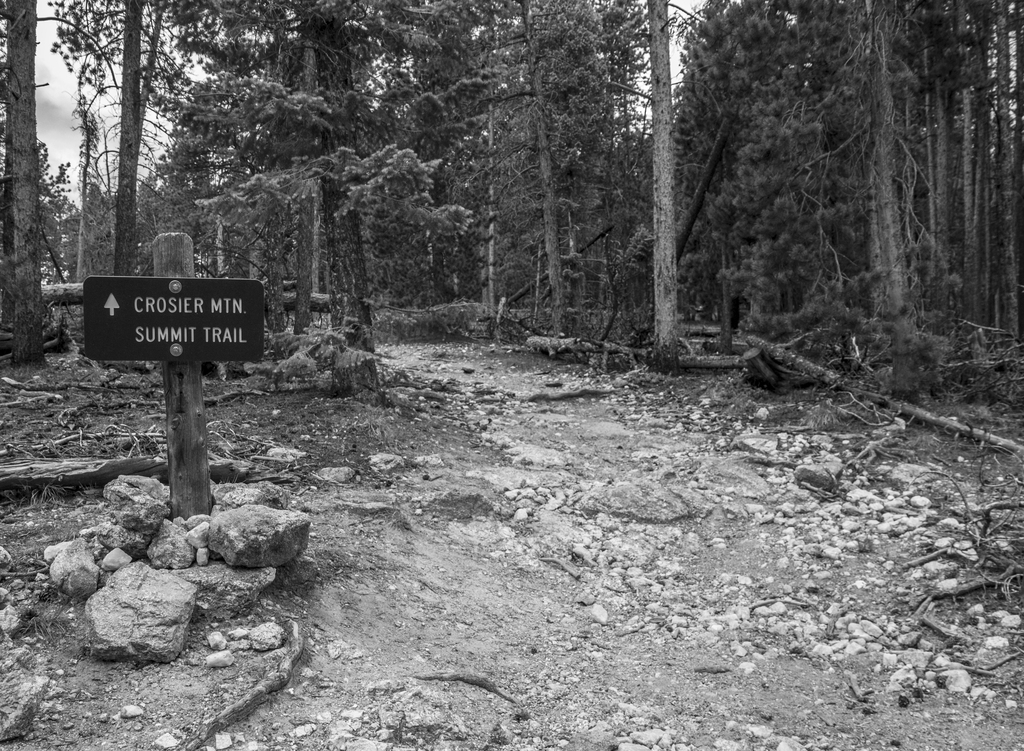
Once we got to this point, the trail got really steep. It was a painful and slow ascent the last half mile of the hike to the top from here.
Once we got to this point, the trail got really steep. It was a painful and slow ascent the last half mile of the hike to the top from here.
Related Photos


Photo Location
The map failed to load!
 8.47 mi
 4.1 hrs
 9,137 ft
 2,162 ft
View Graph