Estes Cone
Part of the album: Estes Cone
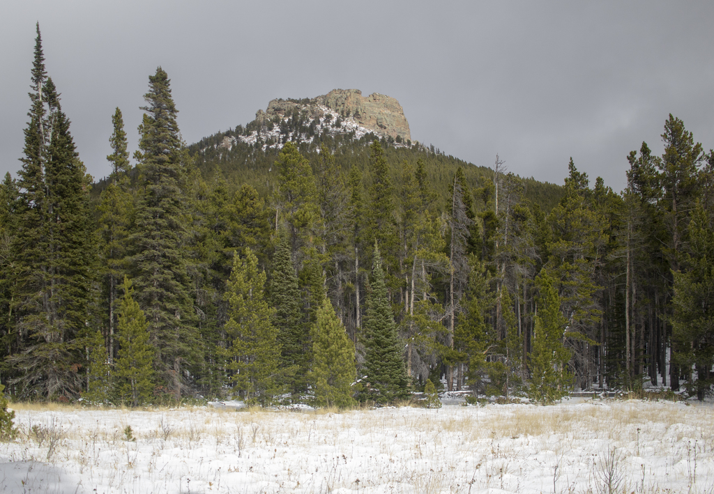
About an hour into our hike, we came to an opening and made a realization that this is what we were planning to summit. With over 2,100 feet of elevation gain in this hike it's no surprise that it looked so high up there.
About an hour into our hike, we came to an opening and made a realization that this is what we were planning to summit. With over 2,100 feet of elevation gain in this hike it's no surprise that it looked so high up there.
Related Photos


Photo Location
The map failed to load!
 6.38 mi
 4.3 hrs
 10,910 ft
 2,116 ft
View Graph