Dadd Gulch
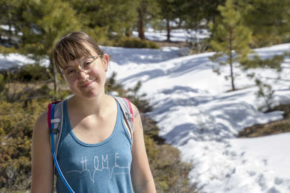
We wanted to do two hikes this weekend because we had nothing better to do. Yesterday's hike was a little busy and had quite a few people on the trail. It didn't really feel much like social distancing. So this time we went up the Poudre pretty far all the way to Dadd Gulch. When we started, around 9:30 am, there were only 3 cars in the parking lot. When we finished, there were a few more, but still pretty empty. I'd say we limited our social interactions today quite a bit.
The hike was supposed to be 7.8 miles long, but the end of the trail was a bit hidden by snow. We turned around just short of the ending point, which was just a road, so I don't think we missed out on much. The hike was almost 1,400 feet in elevation gain and took us three hours.
 6.71 mi
 2.9 hrs
 8,379 ft
 1,371 ft
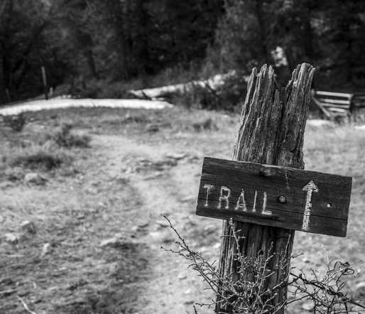
Start
The start of the trail was marked by a pretty old sign. We didn't need much help finding the start, but I thought it looked pretty cool.
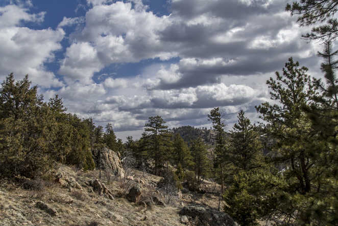
Fast Moving Clouds
The clouds were pretty fast moving. It seemed like one second we had sunshine and it was warm, the next it was cloudy and cold.
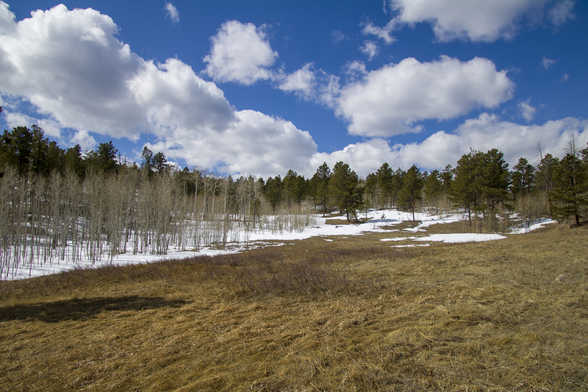
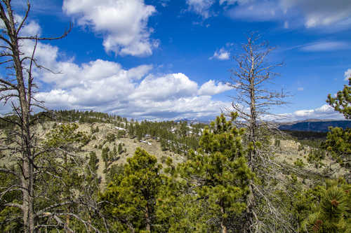
Opened Up
Right where we turned around, because we couldn't find which way the trail went, there was a big opening to another mountain range.
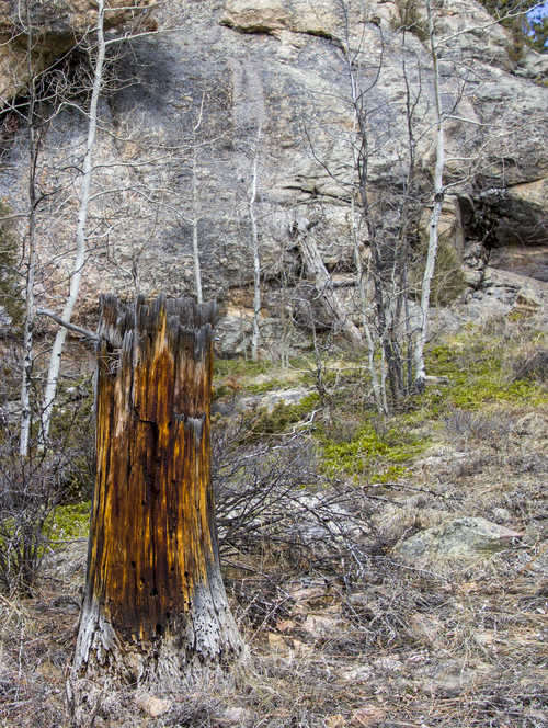
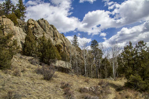
Burnt
The Dadd Gulch area was part of the area burned during the High Park fire in 2012. There were still several areas with burnt trees but fro the most part it seemed like this area was recovering.