Miller Rock
We made it out to the mountains after taking a weekend off since our trip to Moab. We wanted to pick a hike that wasn't too terribly difficult from an elevation standpoint but had a decent length to it and Miller Rock fit the bill. The hike was a little over 6 miles and was supposed to be right at 1,000 feet in elevation gain but it ended up being over 1,200. But maybe the elevation discrepancy was because we didn't do the real loop, we turned around at the summit instead of continuing but we ended up finding another loop back to the main trail. The hike took a little under two and three-quarter hours.
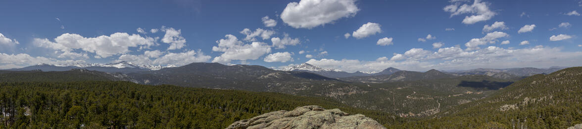
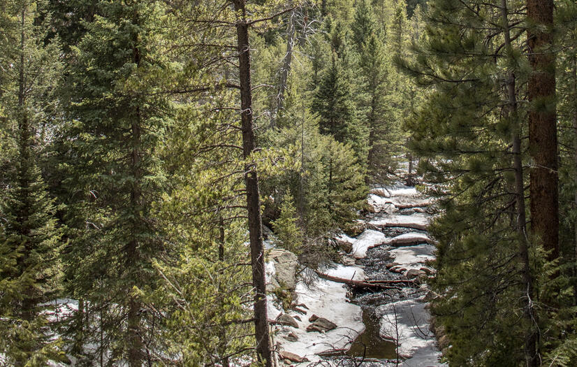
This hike ended up being pretty great because it was a gorgeous area that followed a stream for about half of the hike, which was partially frozen over. The river was flowing strong from the snowmelt and it would duck into ice tunnels where you couldn't see it at all but you could still hear it. The other great thing about this hike was the spectacular views at the summit. There were absolutely no panoramic views until you scrambled to the top of Miller Rock. And it was a scramble. There was no defined way to get to the top but we did a little bit of climbing and made it up with only a little bit of struggle. But that scramble made the view all that much better since all we could see up until reaching the summit was just trees and the river.
At the summit, there was a spectacular view of both Longs Peak and the Twin Peaks, which I feel is something that you don't get a view of both of from the same summit. So I thought that was a pretty great view to see two enormous peaks, all in one view.
 6.22 mi
 2.7 hrs
 8,666 ft
 1,266 ft
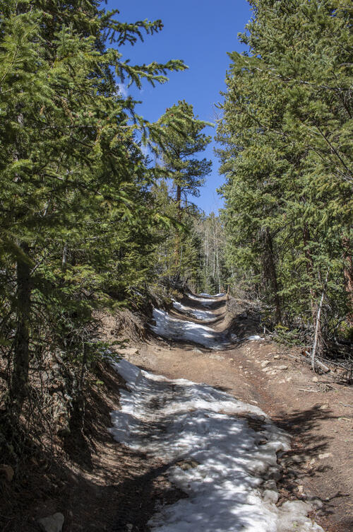
OHV Road
The trail followed OHV trails for most of the hike. The trail was patchy with snow and ice but we were able to hike it without any crampons.
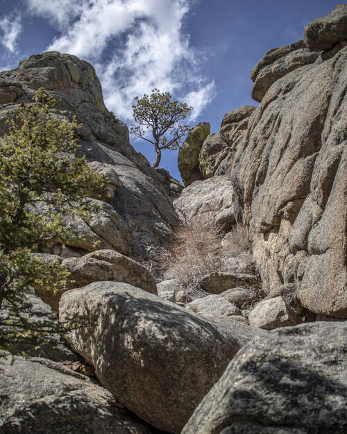
The Scramble
This photo doesn't make it look too hard to get up to the top but it was a pretty challenging scramble in a couple of parts.
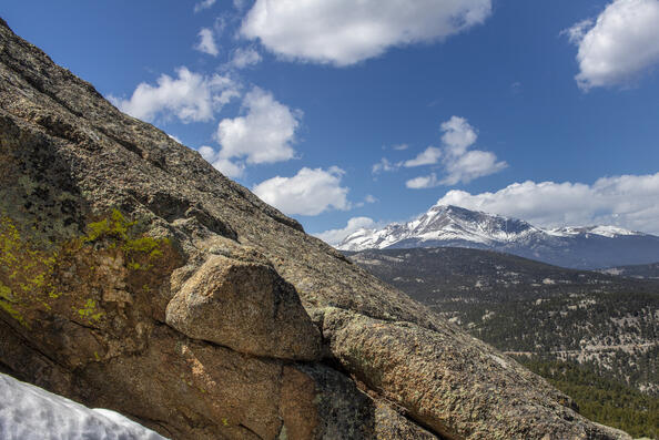
Longs Peak
Before we made it all the way up to the summit on the scramble, we got a gorgeous view of Longs Peak
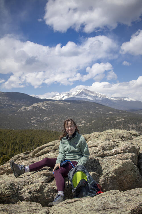
Relaxing at the Summit
We brought sandwiches with us and ate at the summit, even though it was a pretty late lunch, it gave us the energy we needed to hike back to the car. The peak behind Katie is Longs Peak.
Partially Forzen
The river was partially frozen which made it pretty interesting as the water ducked under the ice sheets.


