Storm Mountain
We have been waiting for the weather to be nice enough to go up to Storm Mountain. It's a bit higher in elevation, starting at over 8,000ft, so we knew that there would be some snow on the trail. Someone submitted a post on a hiking website from the day prior saying it was snowy but well packed down. That hiker lied. The last mile of the trail was really soft snow that had us at some points stepping into snow that was knee-deep. The combination of the steep trail in itself plus the deep snow made this a really difficult and somewhat dangerous hike.
The name of this mountain didn't disappoint. As we were hiking up, something was rolling over the mountains. By the time we were almost back to the car, the storm had made it over storm mountain and was sprinkling on us a little bit. But the views were spectacular. Over the course of the hike, we got a full view of all the mountain ranges around Storm Mountain. Unfortunately, the storms coming from the West made the Western mountains pretty hazy.
Overall, the hike was 5 and a half miles long, took us two hours and 40 minutes, and was 1,400 feet in elevation gain.
 5.52 mi
 2.7 hrs
 9,788 ft
 1,381 ft
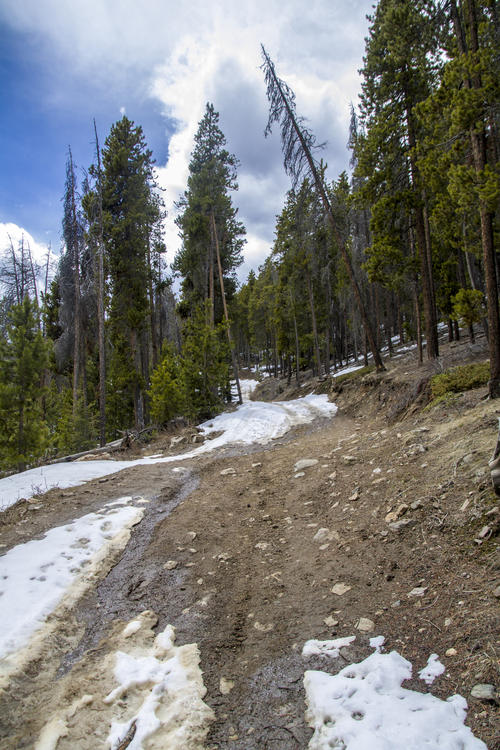
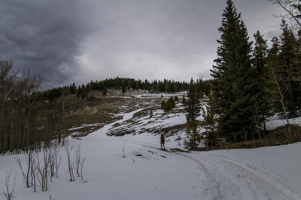
Patchy Road
The trail follows a forest road up to the top of the summit. Most of the trail was covered by snow, but there were a few patches that you could see the dirt.
Up Hill
I'm not sure what Katie thought when we picked a hike with elevation gain, but she was not very enthusiastic about the up portions of this hike.
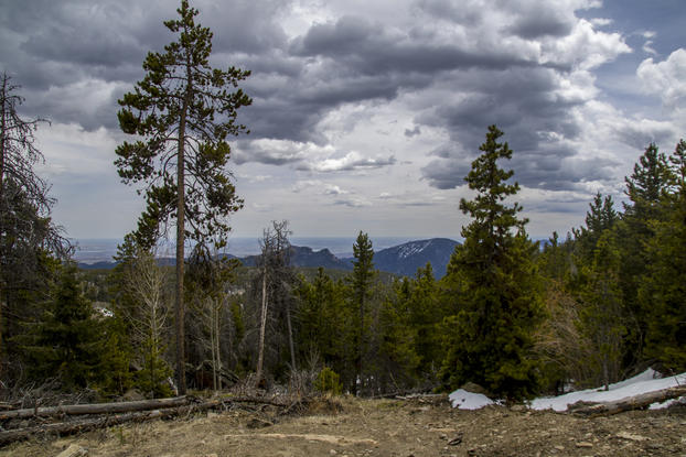
First View of the West
The hike started on the East side of the mountain face, so we didn't get a view of the Western slope until about a mile into the hike.
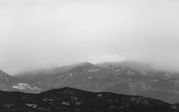
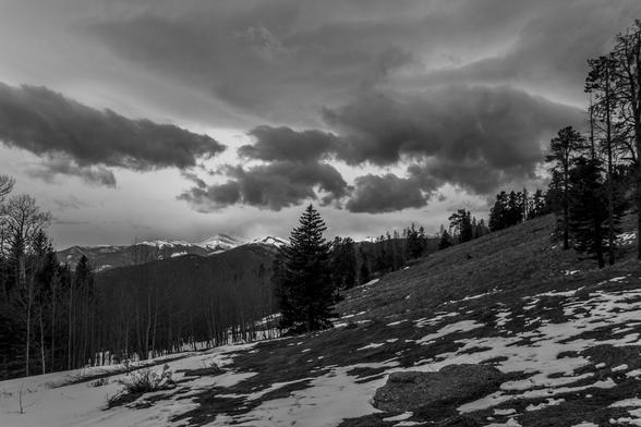
Stormy
The way up wasn't too stormy. Most of the clouds weren't too threatening until the last mile and on the whole way down.
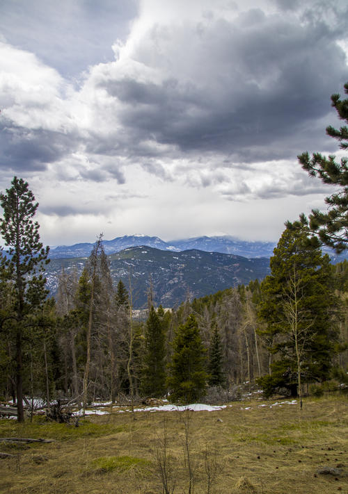
Longs Peak
We only barely saw longs peak. This was the first view of the peak and it was already pretty hidden. On the way down, the peak was completely covered by the storm.
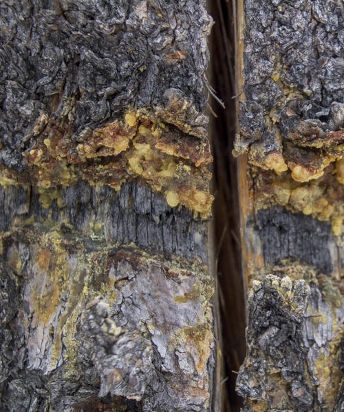
Narrow Split
Storm Mountain had reminiscence of the South Canyon Fire in 1994. The area has recovered very well since then, but there are still a few dead trees standing tall. This one had a split nearly all the way up the tree.
The Trail
The trail didn't have too many switch backs in it. This Was the most of the switchbacks and I love how you can tell where the trail is by the snow.
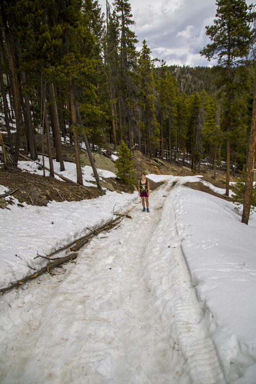
Windy Meadow
This is the point where the hike really got difficult. This meadow was very windy, and the snow started to get soft where we were falling through the snow.
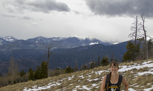
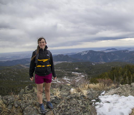
One Mile Left
The last mile was the hardest because of the deep, soft snow. This photo was taken right before the trail started getting difficult, hence why Katie is still smiling.
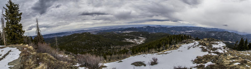
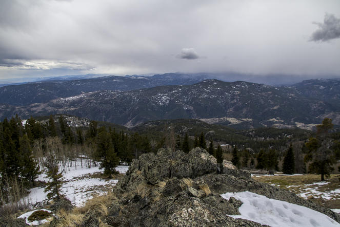
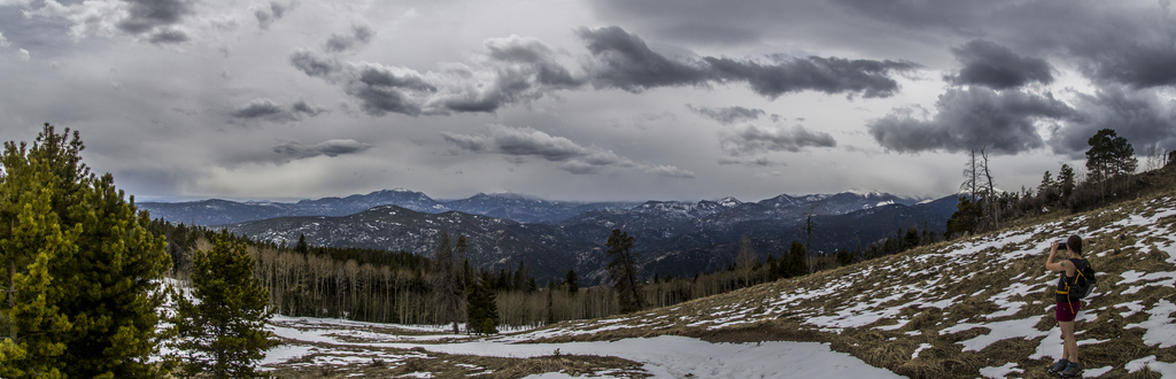
Summit Panorama
The Summit provided spectacular views of the Eastern slope, something that was hidden the entire hike until we came up on the summit.