Arthur's Rock
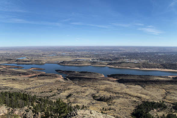
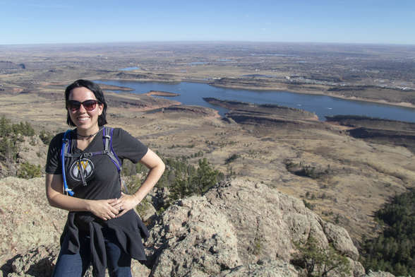
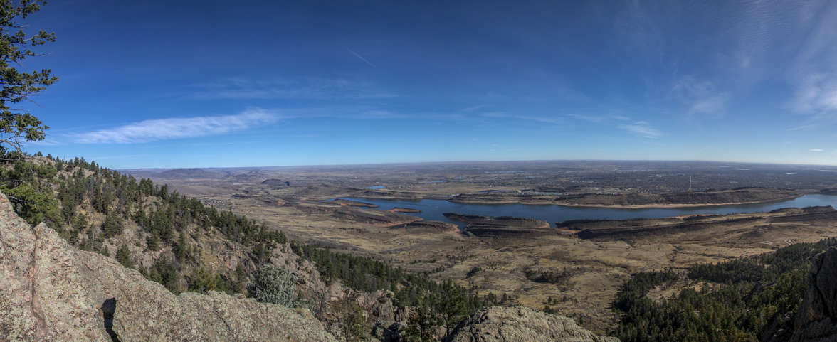
The weather was supposed to be okay for a hike, although not nice enough to hike in Rocky Mountain National Park. We opted to go to Lory State Park while our Colorado State Parks pass was still valid. We had hiked Arthur's Rock in the past, so we knew what to expect.
The hike was 3.6 miles round trip and took a total time of 1 hour and 40 minutes. It had a total elevation gain of 1,100 feet.
Trailhead Location
The map failed to load!
 3.6 mi
 1.7 hrs
 6,719 ft
 1,115 ft
View Graph
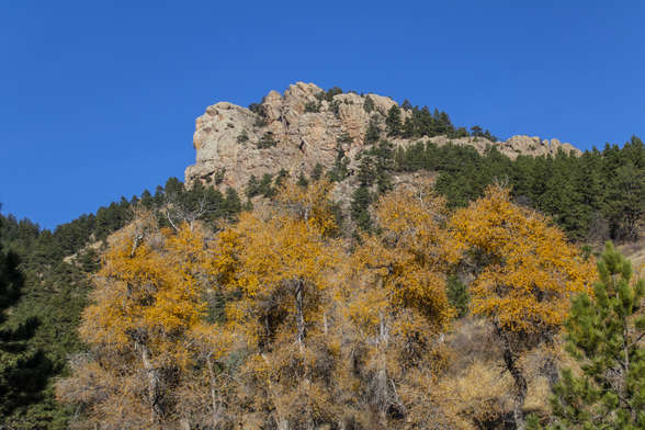
Still Fall
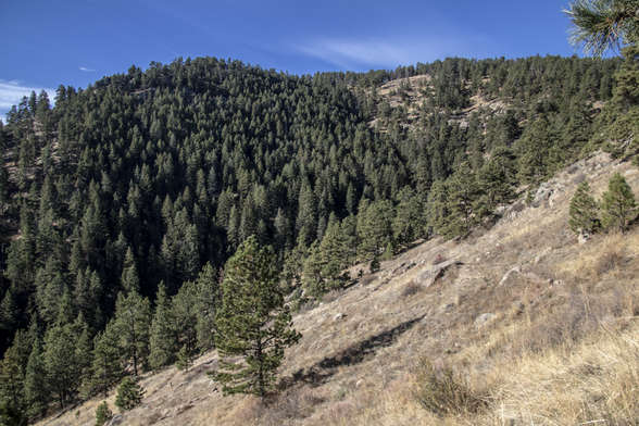
We found a patch of trees that still wanted to pretend like it was autumn, even though all the other trees changed colors over a month ago. That mountain behind the trees is our destination, Arthur's Rock.
Steep Hill
This is the hill that we climbed up via many switchbacks.