Mt. Sherman @ 14,036 ft.
We decided to do our first 14'er together. Katherine's parents wanted to do a 14'er, so we tagged along. This was my first 14'er, and Katherine has done a few other ones with her parents before. Despite Mount Sherman being the easiest 14'er in Colorado, it was treacherous. It may have only been 2.5 miles from the start to the top, but it had 2100 feet of elevation gain that just killed our legs and exhausted our lungs the whole way up. In addition, our day started at 3:30 am to make it to the trailhead by 6:30 am. Aside from that, it was a really nice hike. The hike started at the Fourmile Creek Trailhead, located just outside of Fairplay. For the first half of the hike, we hiked along the old mining roads which still had old mining equipment and buildings scattered along the road. The other half of the hike started at the saddle in between Mount Sheridan and Mount Sherman. From there, we hiked along the gusty ridge that had steep drop-offs on either side. We're lucky we didn't get blown off the ridge!
Katherine and I made it to the summit in just over 2 hours. Katherine's parents meet us at the summit about a half hour later and we all relaxed at the top together for a half hour. It took an additional 2 hours to get down from the mountain. Because of the steep grade and the extremely loose footing, you had to take extra time not to fall off the side of the ridge. This was extremely difficult on the way down.
 2.5 mi
 4.5 hrs
 14,036 ft
 2,100 ft
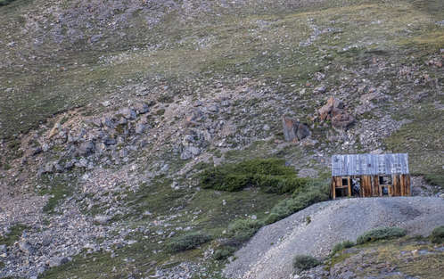
Shack on the Hill
This is the first mining building that you can see. You can see it from the trail head.
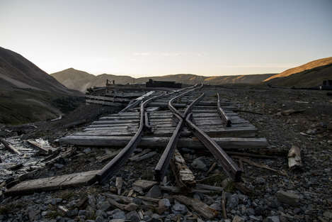
Riding into the Sun
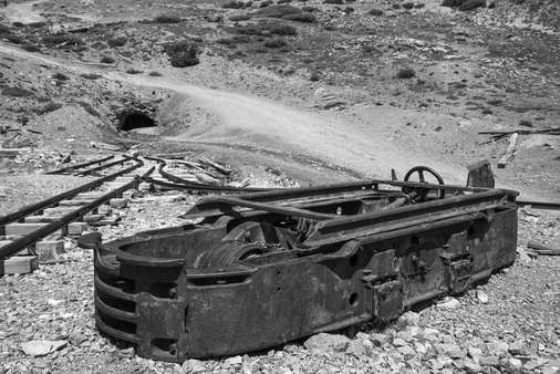
The first mine shaft is located pretty close to the trail head. There are a bunch of pieces of equipment around the mine shaft. Of the equipment, there were some old rails that seemed to be heading straight for the sunrise.
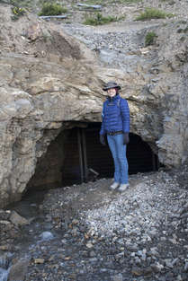
Mine Shaft
There were 2 mine shafts, but this one appeared to be the primary one. There was water running out of it. I'd like to know where the water came from.
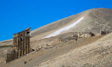
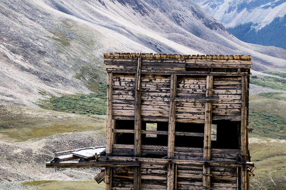
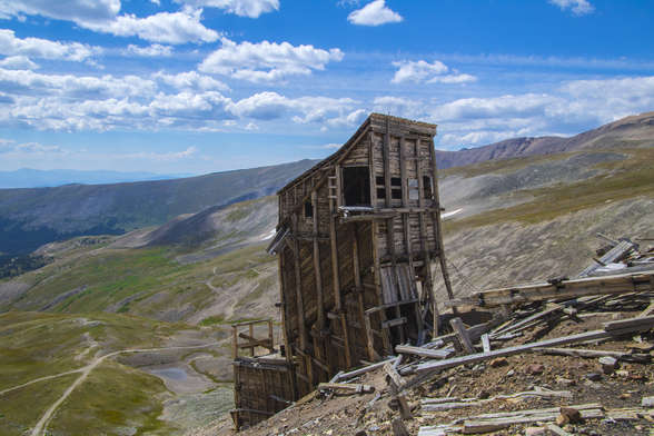
Hilltop Mine
This is one of the few buildings still standing from the HIlltop mine. On the way back down from Mount Sherman, we walked around the backside of this structure. There was a lot more equipment and an obliterated building.
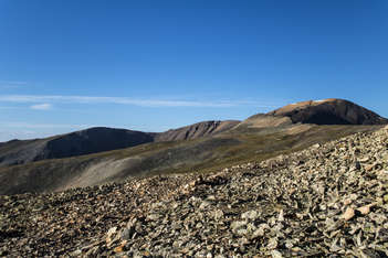
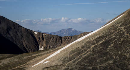
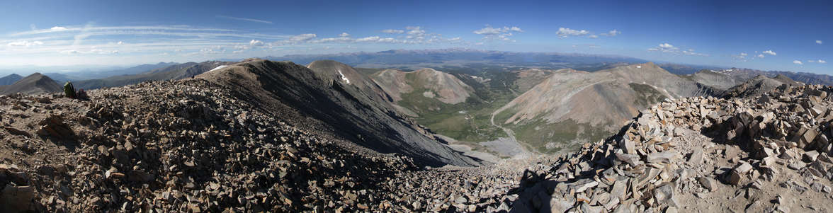
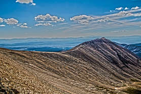
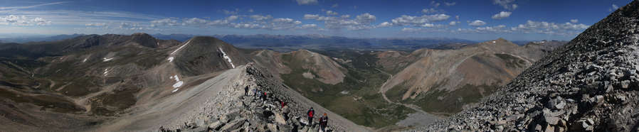
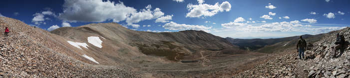
Mount Sheridan
Looking South from the cradle of the mountain, you could see Mount Sheridan, and part of horseshoe mountain.
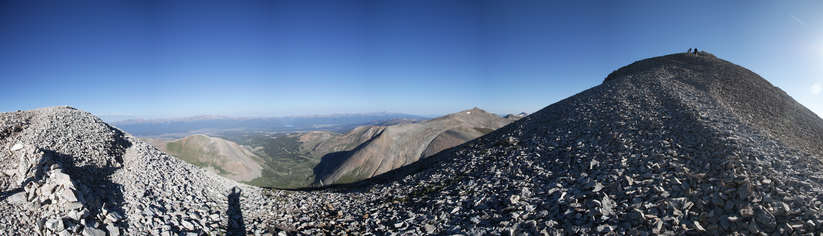
Through the Mountains
The mountains seemed to be endless. Even when you're on the top, there's more in every direction.
Little People
I included this photo because of the people that are hiking up the ridge of Mount SHerman. We were about half way between the cradle and the summit of Mount Sherman when I took this photo. I'm looking South toward Mount Sheridan (on the right) and horseshoe mountain (on the left).
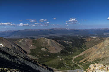
City in the Valley
This was the first spot on the hike that opened up to the West. You could see Leadville in the valley.
Fading Mountains
Being a Coloradoan, it's a weird feeling looking East and seeing endless mountains.
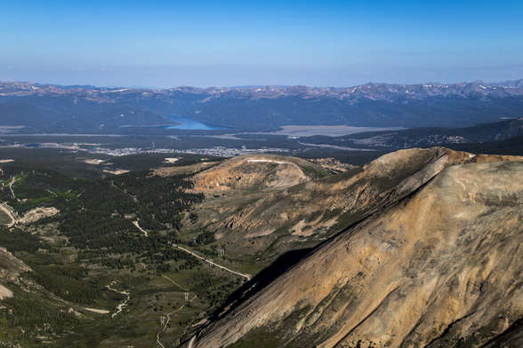
Leadville
You can see the city of Leadville and Turquoise Lake in the distance (it's the one that's so turquoise )
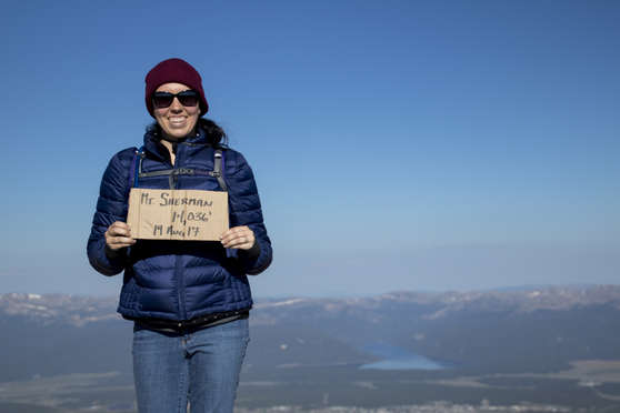
Ghetto Sign
We didn't bring a sign, and there is no geographical marker at the summit. There are a few poles that have fallen down, but that's about it. We found a cardboard sign from the day earlier, so that's what we used, and I photoshopped the date to be correct.
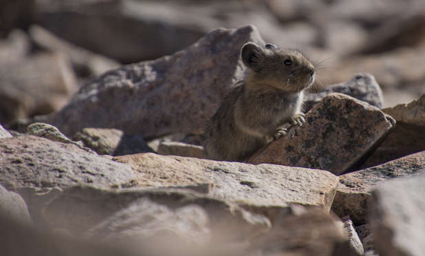
Looking for Food
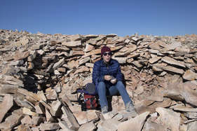
We sat in a little rock wind shelter while we waited for Katherine's parents. It wasn't too windy, but just enough that the shelter was nice. We were eating our snack when this little critter came running up to us. No food for him...
Wind Shelter
How rude! Katherine is sticking her tongue out at me!!! THis was the rock wind shelter that we sat in to eat our snack.
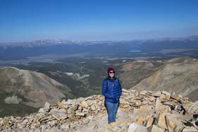
Summited
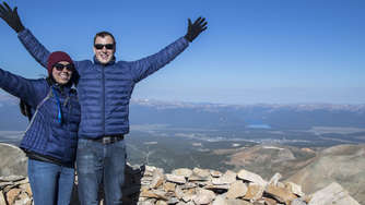
Matching Jackets
I know we look like dorks with our matching jackets. But that's OK.
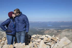
Summit Kiss
How could we not take a kiss at the summit?!
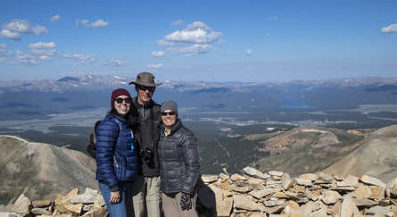
14,036 Feet
We all made it to the top!
Harsh Sunlight
Small Clouds
The clouds started to roll in, nothing too serious.
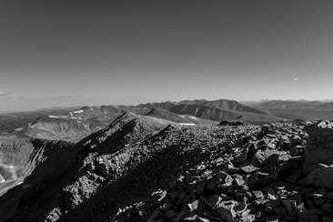
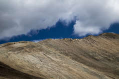
White Ridge
This is the White Ridge which comes off of Mount Sherman.
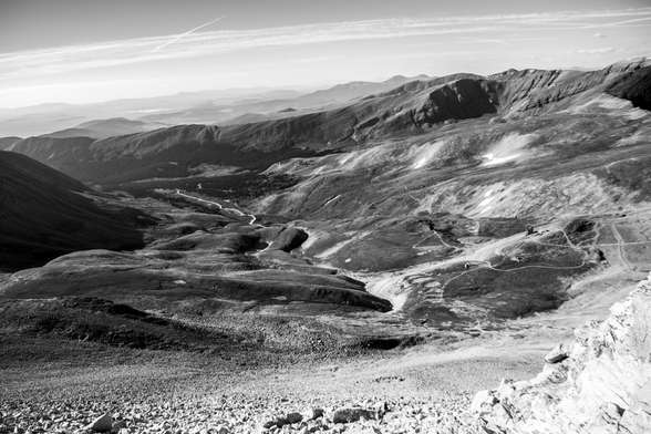
Looking Down
You can see all the people on their way up to the summit as we were headed down.

Little Ants
It's hard to get the scale of this photo without all the little ants. Oh wait, those are people!
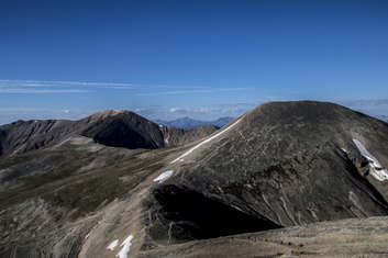
Mount Sherman
The Summit of Mount Sherman is on the right side right where the snow bank was.
Mount Sherman Ridge
Old Wood
I'm surprised that this structure is still standing. It's a fairly tall structure, maybe 40-50 feet tall, which a pretty narrow base (maybe a 15x15 square foot).
Crumbling
This is one of the structures that is part of Hilltop Mine
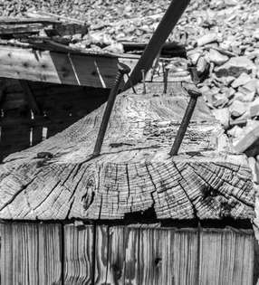
Nails
These mails were probably originally holding a roof over this structure, when the roof collapsed, the nails stayed in.
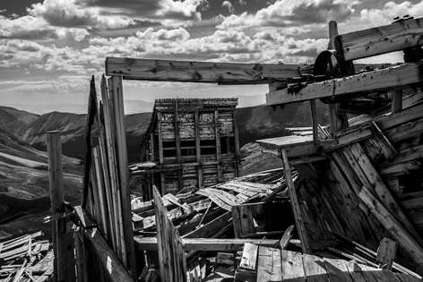
Through the Collapsed Buildings
The structures of Hilltop Mine and what remains of them.
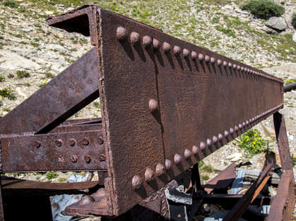
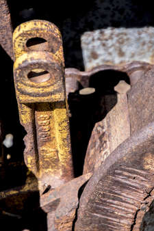
Rivets In a Line
Katherine said "don't you want to take photos of that thing, it looks like something you would like to take photos of". She was correct. This steel structure is part of Hilltop Mine.